
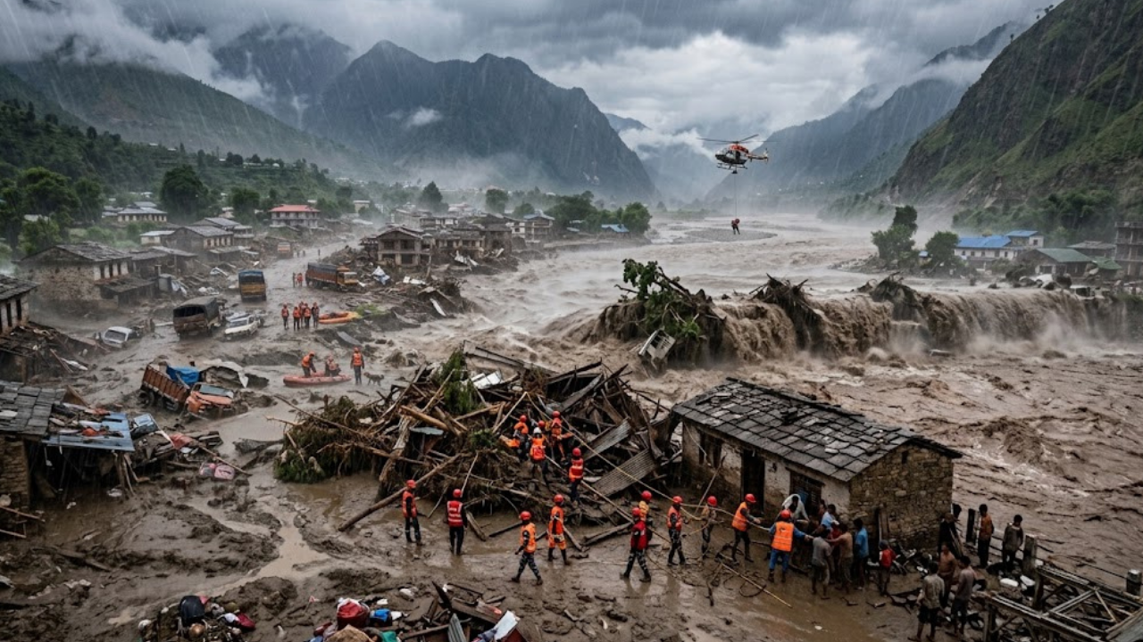
Before dawn broke fully over the Himalayas on Wednesday, August 26, a slab of ice perched more than five kilometers above sea level let go of the mountain beneath it – and within hours, a Nepal-Tibet flash flood had killed more than 390 people and left over 1,400 others unaccounted for on both sides of the border. What began as a geological event nobody saw coming has since exposed a harder truth: the region’s flood-warning systems, built and refined over four decades, were never designed to catch a threat like this one.
How the Collapse Happened
Satellite imagery reviewed by scientists shows that a large section of the lower Langtang Lirung glacier sheared away at roughly 5,200 meters and fell close to 1,200 meters down the mountainside, picking up rock and loose sediment as it went, according to analysis reported by Al Jazeera. The mass slammed into the Lhende River in Tibet’s Gyirong County, around 20 kilometers northeast of the Nepal-China border crossing, and for a short time acted as a natural dam, backing up the river’s flow. When that debris barrier gave way, it unleashed a surge that raced downstream with little warning.
The event initially confused investigators. Seismic stations first flagged what looked like a magnitude-4.4 earthquake at around 8:40 a.m. local time (02:55 GMT). The U.S. Geological Survey later corrected the record, determining that the tremor hadn’t come from a fault line at all – it was the seismic signature of the ice-rock mass hitting the valley floor, ultimately measured at magnitude 5.2. “A lower part of a glacier has really come off,” Jakob Steiner, a geoscientist at the University of Graz who is researching the region, told CBS News, comparing the force of the impact to an explosion.
From the Lhende, the surge fed into the Bhote Koshi and then the Trishuli River, and the numbers describe a flood moving at a pace no community could outrun: water levels on the Trishuli reportedly climbed as much as nine meters – about 30 feet – in half an hour, based on figures cited by Al Jazeera. The deluge tore through a roughly 72-kilometer stretch of river valley, according to Wikipedia’s tracking of the disaster, swallowing the Rasuwa district towns of Timure and Syaphrubesi before continuing into Nuwakot, Dhading, Gorkha and Chitwan. On the Chinese side, mud and debris struck the Gyirong Port crossing, a route that normally carries heavy trade traffic and pilgrims bound for Mount Kailash.
The Human Toll of the Nepal-Tibet Flash Flood
As of Thursday, Nepali authorities had confirmed 389 deaths and were still searching for roughly 900 people, while Chinese officials in Gyirong County reported three confirmed dead and 558 missing, including 260 foreign nationals, per figures compiled by Al Jazeera and Wikipedia. Nepal’s National Disaster Risk Reduction and Management Authority said it had recovered at least 258 bodies as recovery work continued. The U.S. State Department said roughly 90 Americans were among those unaccounted for, though it had not confirmed any American deaths as of Thursday morning, NPR reported. Nepal’s tourism board told the Associated Press that 667 travelers remained out of contact, more than a hundred of them Indian nationals on pilgrimage toward Mount Kailash in Tibet.
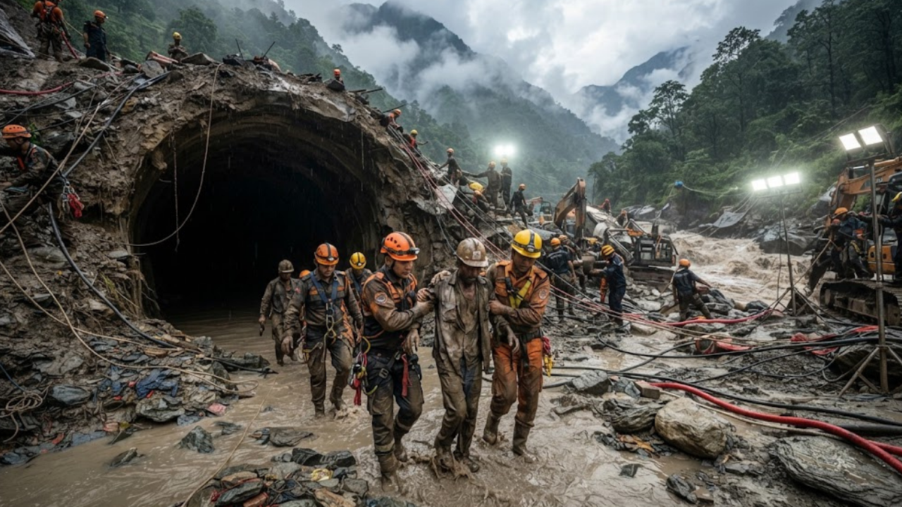
The physical damage compounds the search effort: at least 32 bridges and nearly 40 kilometers of road were washed out, according to figures reported by TIME, cutting off exactly the mountain communities that most need reaching. Nepali police said 66 people had been hospitalized with flood-related injuries, most from Nuwakot and Rasuwa. In response, Nepal’s Prime Minister, Balen Shah, traveled to Nuwakot on Thursday to oversee the response, and the army began flying in relief supplies while road crews installed temporary bailey bridges to replace the ones the river had taken.
On the Chinese side, President Xi Jinping ordered what state media described as an all-out search-and-rescue push and called for the country to improve its disaster monitoring going forward, according to Wikipedia’s account of Chinese state media coverage. Notably, Nepal’s government turned down offers of international rescue teams, citing coordination problems it traced back to the response after the country’s 2015 earthquake.
It is the kind of disaster that briefly commands global headlines and then, once the search-and-rescue footage fades, risks becoming just another line in the region’s long ledger of Himalayan floods — even though the settlements buried under this one had no meaningful warning that anything was coming. HumanCrisisNews has traced this same pattern before, most recently in the aftermath of the Flores earthquake, where a rising death toll competed for attention with disasters elsewhere in the world.
Why the Early-Warning System Missed It
For years, Chinese and Nepali scientists have jointly run a flash-flood monitoring network along this border corridor, a system credited by the South China Morning Post with helping prevent casualties in past events, according to Wikipedia’s summary of that reporting. This time, it did not work — and the reason lies in what the system was built to watch for.
The network Nepal built after a catastrophic 1981 glacial flood relies chiefly on sensors that track river water levels and trigger alerts once flow crosses a set threshold, a design confirmed by researchers writing for PreventionWeb. That approach works reasonably well for a slow-building glacial lake outburst, where a lake swells over hours or days before it breaches.
It is far less useful against a sudden high-altitude ice collapse, where the entire sequence – glacier failure, temporary river blockage, and catastrophic dam break – can unfold in a matter of hours, largely out of sight, at an elevation where few instruments exist at all. Nepal’s downstream sensors, positioned along rivers such as the Bhote Koshi, were simply too far from the point of collapse to give communities meaningful lead time even when they did register rising water – a structural limitation that experts had flagged in the aftermath of earlier floods in this same river system, per reporting cited by PreventionWeb.
The deeper problem is geographic and political as much as technical. The glacier that failed sits well inside Tibet, upstream of any Nepali sensor network, and effective monitoring that close to the source would require sustained, real-time data-sharing between Chinese and Nepali agencies – cooperation that analysts have long described as inconsistent. As one former Tribhuvan University geography professor put it following an earlier Himalayan flood, the most dangerous lakes and glaciers sit on the Tibetan side, meaning any disaster there hits Nepal with limited notice, according to remarks reported by Al Jazeera in 2023.
On the ground, that gap showed up exactly as feared. “We do not exactly know the extent of damage, but the flood is big, and it could have damaged many settlements,” Nepal Police spokesperson Abi Narayan Kafle said in the disaster’s early hours, according to TRT World – a statement that captured how little real-time visibility authorities had even as the water was still rising.
A Warming Range, an Unfinished Warning Network
Scientists caution against drawing a straight line from this single event to climate change, but the broader pattern is not in dispute. The Hindu Kush Himalaya region is heating up faster than the global average, and that warming is destabilizing permafrost and glacier ice across a mountain range that feeds water to hundreds of millions of people downstream, researchers at the International Centre for Integrated Mountain Development told NPR.
A Bangladesh-based geologist went further, telling Wikipedia’s contributors that disasters like this one represent the region’s “new normal” and will likely worsen. More than 200 glacial lakes across India, Pakistan, China, Nepal and Bhutan are already classified as posing a high hazard to downstream communities, according to 2022 research cited by outlets covering the region’s flood risk. It is a pattern consistent with what HumanCrisisNews has documented in other climate-exposed regions, including communities strained by the DRC’s Ebola outbreak, where under-resourced monitoring systems have likewise struggled to keep pace with a fast-moving threat.
This was not, notably, the first warning sign from this exact stretch of river. A flood in July 2025 tore through the same Lhende-Trishuli corridor, destroying the Sino-Nepal Friendship Bridge and cutting the border crossing for weeks. That episode, like this one, was traced to instability building in the glaciers above Gyirong.
What Comes Next
Search-and-rescue teams remain focused on the roughly 1,400 people still missing across both countries, even as hope of finding survivors fades with each passing day. Diplomatically, Xi Jinping’s call for better cross-border disaster monitoring suggests at least an acknowledgment, from Beijing, that the current setup was not enough.
Whether that translates into the kind of high-altitude, cross-border sensor network that scientists have been requesting for years — one capable of watching the glaciers themselves rather than just the rivers they eventually feed – is the open question hanging over the recovery. For the villages of Rasuwa and Nuwakot, and for the communities of Gyirong across the border, that answer will shape whether the next glacier that gives way finds them with more warning than this one did.
Some details of the death toll, missing-persons figures, and the precise mechanics of the glacial collapse remain under active investigation and are likely to be revised as search operations continue.


One thought on “Nepal-Tibet Flash Flood: What Caused the Disaster That Killed Over 390 People”